




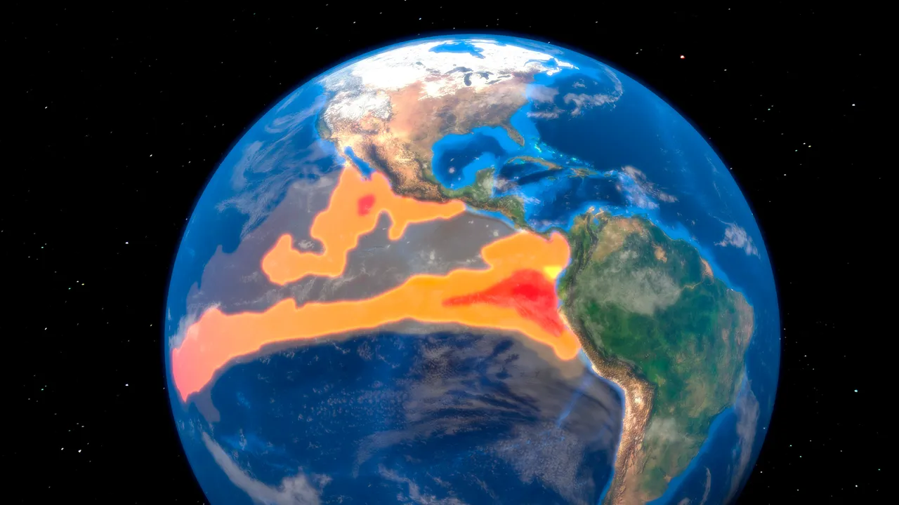
Changes in sea surface temperature also affect atmospheric circulation and generate a chain reaction of climate changes worldwide. In the United States, rainfall tends to increase in the south-east and south-west regions during the winter, while the Atlantic hurricane season is often relatively mild.
On the other hand, the impact varies considerably by region, with a higher risk of drought in Indonesia and southern Africa. In Japan, the trend of “fresh summers and warm winters” is well known. However, the real climate is not determined by the El Niño phenomenon alone, and unprecedented heat waves were recorded between 2023 and 2024.
What's the “Super El Niño”?
A particularly intense El Niño phenomenon, where the temperature of the sea surface exceeds the annual average by 2 ° C or more, is called “Super El Niño phenomenon.” Although there is no unified definition and the number of occasions in which it has occurred varies according to the studies, to date the periods 1982-83, 1997-98, 2015-16 and 2023-24 have been cited, among others.
During the El Niño extreme phenomenon of 1982-83, the Colorado River basin in the United States experienced unprecedented snowfalls. The combination of high spring temperatures and rain caused the river flow to exceed 1.5 times its normal level. The upstream reservoirs were quickly filled, which forced emergency discharges, and Lake Mead was also about to reach its maximum capacity. This caused the water to overflow from the Hoover Dam's relief for the first time in about 40 years. As a result, the river basin suffered severe flood damage.
In 1997- 98, Indonesia suffered the worst drought of the last half century. More recently, in 2023-2024, southern Africa also experienced the worst drought in over 100 years. It left approximately 61 million people in need of humanitarian assistance.
According to the NOAA forecast of August 2026, there is a greater probability of a "very intense" El Niño phenomenon this fall and winter. The probability of this happening between October and December, exceeding any event since 1950, also reaches 69%. Some climate models predict a temperature increase above 3 ° C above the average, which could lead to the most intense El Niño phenomenon ever recorded.
Both the water temperature and the rate of development are exceptional this year
According to climate scientists, the median of 667 results from calculations of 14 prediction systems suggests that sea surface temperatures in the Children 3.4 region could increase to 3.6 ° C above the average. Even considering the effects of long-term warming. This represents approximately 0.8 ° C more than the previous record set by the El Niño phenomenon of 2015-16. This is an exceptional level, considering that the difference between the most intense El Niño phenomenon and the most powerful fifth in the last 150 years was only about 0.5 ° C.
The Japan Meteorological Agency also announced on August 10 that the El Niño phenomenon, which has been continuing since this spring, has a probability of 100% to continue until winter. In the “Child 3” marine area, which the Japan Meteorological Agency independently monitors, the sea surface temperature in July was 2.5 ° C higher than the reference value. This made it the highest for a July since 1949, with the 1997 registration. The water temperature at its peak is expected to be comparable to that in 1997, when the historical peak was reached.